Map of Eritrea
Location and geography
Eritrean history
Border conflict with Ethiopia
Political structure
Eritrean anthem
Economy & currency
Climate
People
Languages
Religion
Health care
Transport
Cuisine
News, links, books and more
Asmara (Asmera)
Agordat (Akordat)
Assab (Asseb)
Barentu
Dahlak islands
Dekemhare (Decemhare)
Ghinda (Ginda)
Keren (Cheren)
Massawa (Massauwa)
Mendefera (Adi Ugri)
Nakfa (Nacfa)
Semenawi Bahri (Filfil)
Tessenei
(Teseney)
Eritrea - Map
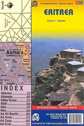
International Travel Maps
345 West Broadway
Vancouver, B.C.
Canada, V542 P
Phone 604 687-3320Published in Canada
2006 by ITMB publishing
ISBN 9781553412014
MAP OF ERITREAStephen Stringall
Scale RF 1 : 900,000 with a brief index - 27x38 inches.
ITMB Publishing specialize in areas that are interesting, exotic and off the beaten track. In addition to the wealth of detail information.
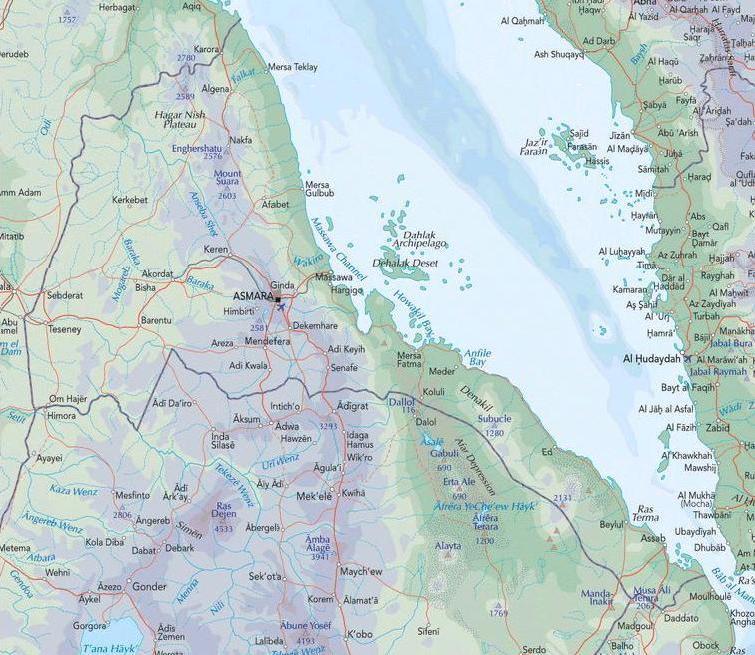
The map of Eritrea and coastal islands is strong on the physical features of Eritrea - there is informative text included with the map, dealing with the history of Eritrea. The map is light, practical and should be invaluable for the backpacker, traveler or tourist visiting Eritrea.
The map has contours and altitude colouring to indicate the topography and shows forests, sand dunes, salt pans, coral reefs, as well as boundaries of national parks.
Road network includes seasonal roads and tracks, with petrol stations also marked. Other information includes bus stations, different types of airports and aerodrommes, hospitals and medical facilities, accommodation (hotels, campsites, rest houses, etc.) and places of interest. Latitude and longitude are shown at 1° intervals.
An inset with a street plan of Asmara names the main streets in the city and hightlights places of imterest. Another inset presents the country's annual rainfall.