Map of Eritrea
Location and geography
Eritrean history
Border conflict with Ethiopia
Political structure
Eritrean anthem
Economy & currency
Climate
People
Languages
Religion
Health care
Transport
Cuisine
News, links, books and more
Asmara (Asmera)
Agordat (Akordat)
Assab (Asseb)
Barentu
Dahlak islands
Dekemhare (Decemhare)
Ghinda (Ginda)
Keren (Cheren)
Massawa (Massauwa)
Mendefera (Adi Ugri)
Nakfa (Nacfa)
Semenawi Bahri (Filfil)
Tessenei
(Teseney)
Akule Guzai Eritrea
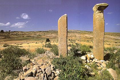
10 kilometer south of Adi Kaieh in Kohaito are the archaeological sites of an Axumite dam, estimated to be over 2,000 years old, two sites believed to be a place of worship (indicating by the existing pillars), an Axumite brick firing kiln, and rock paintings dating from approximately 4-500 B.C.
Resume of hotel accommodation in Adi Keih Name Address Rooms Phone Fax Adi Keih 650 041 Garden 650 065 Keyh Bahri 650 325
Monolithic stelae, Kohaito.
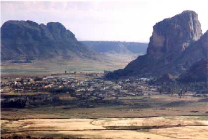
Village of Senafe, seen from the Eritrean side of the front after the
May/June 2000 war with two Ethiopian trenches on the foreground.© 2000 Martin Stolk .
More pictures of Senafe ........
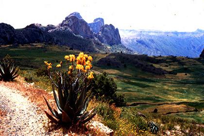
Amba Metera, (© Skip Dahlgren) a huge rock that marks the
archaeologic site of the ancient Axumite city, one of Eritrea's
prime cultural and historic treasures, 2kms south of Senafe.
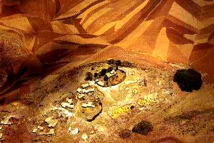
Small village in Akule Guzai.