Map of Eritrea
Location and geography
Eritrean history
Border conflict with Ethiopia
Political structure
Eritrean anthem
Economy & currency
Climate
People
Languages
Religion
Health care
Transport
Cuisine
News, links, books and more
Asmara (Asmera)
Agordat (Akordat)
Assab (Asseb)
Barentu
Dahlak islands
Dekemhare (Decemhare)
Ghinda (Ginda)
Keren (Cheren)
Massawa (Massauwa)
Mendefera (Adi Ugri)
Nakfa (Nacfa)
Semenawi Bahri (Filfil)
Tessenei
(Teseney)
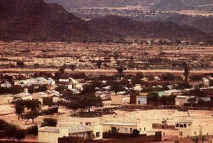
Senhit Eritrea
View over Senhit. 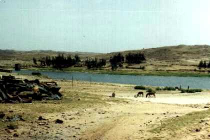
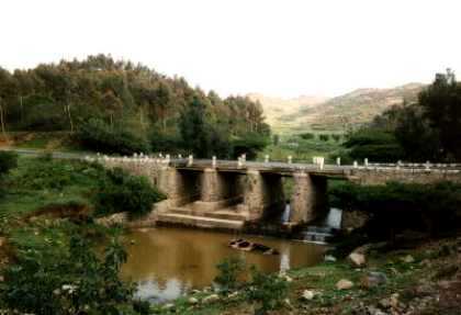
Lake near the village of Emba Derho (on the road to Keren).
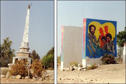
Monument for the martyrs of the struggle for liberation
(1961-1991) on the road to Keren. The monument is composed
of several elements. These pictures shows only two of them.
Military equipment in the river near Asmara.
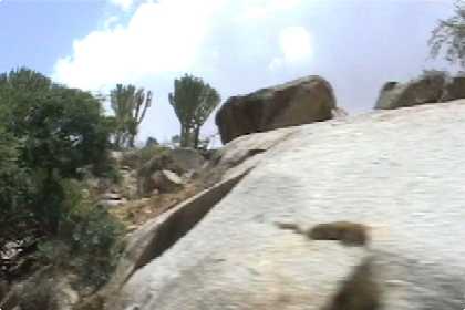
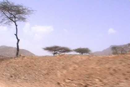
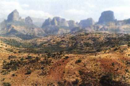
Typical landscape on the road to Keren.
Typical landscape on the road to Keren.
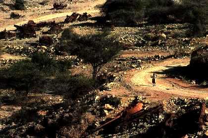
View of Afabet town.
Outside Afabet, broken bones of tanks and trucks memorialize
the rebels' greatest victory. In this narrow ravine, fighters
trapped and disabled an enemy convoy - and with seized
weapons forced the Ethiopian Army into a decisive retreat.